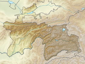
Rangkul is an alpine freshwater lake in the Pamirs , located in the Gorno-Badakhshan Autonomous Republic of Tajikistan .
| Lake | |
| Rangkul | |
|---|---|
 | |
| Morphometry | |
| Absolute height | 3784 m |
| Dimensions | 5.7 × 2.3 km |
| Square | 7.8 km² |
| Volume | 0.012 km³ |
| Deepest | 2.5 m |
| Pool | |
| Pool area | 1980 km² |
| Location | |
| A country |
|
| Region | Gorno-Badakhshan Autonomous Oblast |
Title
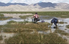
The name of the lake is supposedly derived from the Kirg. rank - "sedge" and kul - "lake". According to another version, the first component of the name is understood as taj. rank - "color, coloring." More convincing is the first option - the shores of the lake are shallow, sometimes swampy.
Feature
The lake lies at an altitude of 3784 m above sea level . Its area is 7.8 km², the greatest depth is 2.5 m. Food is provided due to melt snow and glacial waters. The catchment area is 1980 km². Water volume - 0.012 km³. Runoff occurs along the Uzykdarya canal into Lake Shorkul . Water warms up slightly.
Ottoman species are found in the lake. Wild geese colonies settled on the islands. Near the lake is the village of Rangkul and the road to Murghab . In the basin of the lake are Saki mounds . In the mountains south of the lake is the Cave of Travelers .
Sources
- Rangkul - article from the Geographical Encyclopedia