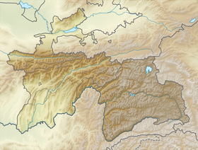
Rushan Range - a mountain range in the west of the Pamirs , in Tajikistan , between the rivers Gunt and Bartang . In the east it is articulated with the North Alichursky ridge .
| Rushansky ridge | |
|---|---|
| Specifications | |
| Length | 120 km |
| Width | |
| Highest point | |
| Highest peak | peak pathor |
| Absolute height | 6080 m |
| Location | |
| A country |
|
| Mountain system | Pamir |
The length of the ridge is about 120 km. The highest point is Pathor peak (6080 m). It is composed of granitoids , metamorphic and clay shales , quartzites , sandstones , limestones , gneisses . The crest has sharp alpine forms. Significant glaciation .
On the slopes, the landscape of rocky highlands prevails, passing lower into the subtropical steppes , wormwood semi-deserts and deserts of mountain valleys, along the river valleys - willow , sea buckthorn , poplar , hawthorn , and birch .
Sources
- Rushan Range - article from the Great Soviet Encyclopedia . .
- Rushan Range - article from the Brief Geographic Encyclopedia.