The middle one is a river in the Turukhansky district of the Krasnoyarsk Territory , the right tributary of the Yenisei .
| Average | |
|---|---|
| Characteristic | |
| Length | 29 km |
| Watercourse | |
| Source | |
| • Height | 187 m |
| • Coordinates | |
| Mouth | Yenisei |
| • Coordinates | |
| Location | |
| Water system | Yenisei → Kara Sea |
| A country |
|
| Region | Krasnoyarsk region |
| Area | Turukhansky district |
| HWR code | |
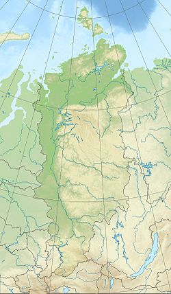
The river is 29 km long [2] . The river flows from the southwestern side of Lake Kamennoye 1st [3] , the source height is 187 m above sea level [4] (according to other sources - 186 m [5] ). Of the tributaries, only one, the left one is the Medium Split [6] , has its own name, the rest are nameless. It flows into the Yenisei at an altitude of 9 m [6] , 3 km south of the non-residential village of Pupkovo , at a distance of 1100 km from the mouth.
According to the state water register of Russia, it belongs to the Yenisei Basin District . The code of the water body is 17010600112116100060682. [2]
Notes
- ↑ Surface Water Resources of the USSR: Hydrological Understanding. T. 16. Angara-Yenisei region. Vol. 1. Yenisei / ed. G. S. Karabaev. - L .: Gidrometeoizdat, 1967 .-- 823 p.
- ↑ 1 2 State Water Register . Medium . textual.ru . Ministry of Natural Resources of Russia (March 29, 2009). Date of treatment December 20, 2018. Archived March 29, 2009.
- ↑ State Water Register . Stone 1st . textual.ru . Ministry of Natural Resources of Russia (March 29, 2009). Date of treatment December 20, 2018. Archived March 29, 2009.
- ↑ Map sheet Q-45-117-C, D - FSUE GOSGISCENTER
- ↑ Map sheet Q-45-XXIX, XXX . Scale: 1: 200 000. Indicate the date of issue / condition of the area .
- ↑ 1 2 Map sheet Q-45-116-C, D - FSUE GOSGISCENTER