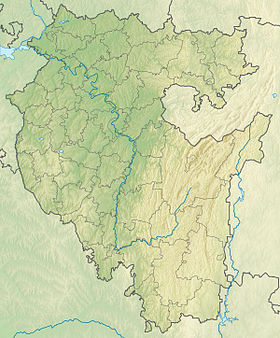
Mambet ( head. Mumbat ) is a rock in the Southern Urals near the Zilim River, in the Gafuriysky district of Bashkortostan . It is located 15 km upstream of Zilim and 10 km along the road from the village of Tolparovo . At 1.5 km there is the rock Kuzganak .
| Mambet | |
|---|---|
| head Mumbat | |
 | |
| Highest point | |
| Absolute height | 421 m |
| Location | |
| A country |
|
| The subject of the Russian Federation | Bashkiria |
| Area | Gafuri district |


Tourist attraction.
An observation deck was built at the top of the cliff.
According to legend, the name is on behalf of the hunter Mambet , who once tried to climb the rocks to get to the osprey nest [1] .
Links
- http://kuznetsov-ru.livejournal.com/106743.html Travel photo report.
- http://maps.vlasenko.net/?lon=57.058096&lat=53.979613 map
- Card sheet N-40-79 Toucan . Scale: 1: 100,000. 1979 Edition.