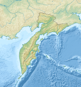
Tolmachev Dol , also the Tolmachev plateau - a wide volcanic plateau in the southern part of the Kamchatka Peninsula northeast of the Opala volcano.
| Tolmachev Dol | |
|---|---|
| Characteristics | |
| Education period | Pleistocene => Holocene |
| Highest point | |
| Highest point | 1114 [1] m |
| Location | |
| A country |
|
| The subject of the Russian Federation | Kamchatka Krai |


The highlands are dotted with numerous slag volcanoes of the Late Pleistocene and Holocene and associated lava flows. Cones and lava fields cover a wide area on both sides of the picturesque Tolmacheva Lake, which lies in great depression halfway between the Opala and Gorely volcano. The 1415-meter volcano Tolmacheva - Pleistocene stratovolcano , lies on the side southeast of the lake. The main explosive eruption occurred about 4600 years ago from the Chasha crater (the modern Chasha lake , sometimes called the Bear Chasha ) north-west of Tolmachev Lake ) in the north-western part of the plateau, during which about 1 cubic kilometer of tephra was thrown. The last eruption of Tolmachev Dol occurred about 1600-1700 years ago. Volcano Opala also belongs to Tolmachev Dol, while Gorely to Gorely Dol .
On the southern part of the plateau is part of the zoo reserve “Deer Dol . ”
Topographic maps
- Map sheet N-57-XXXII sop. Opal Scale: 1: 200 000. Terrain condition for 1974. 1986 edition
Notes
- ↑ Map sheet N-57-XXXII sop. Opal Scale: 1: 200 000. Terrain condition for 1974. 1986 edition
Links
- Tolmachev Dol : [ eng. ] // Global Volcanism Program . - Smithsonian Institution .
- Volcano live
- Local History Site about Kamchatka
- VOLCANOLOGY AND SEISMOLOGY, 2002, No. 5, p. 3-10 (inaccessible link - history ) .
- Tolmachev Dol Plants