Fokina - a river in the Taimyr Dolgan-Nenets district of the Krasnoyarsk Territory , the right tributary of the Yenisei . It flows along the eastern edge of the West Siberian Plain. Length - 115 km, catchment area - 1680 km² [2] .
| Fokina | |
|---|---|
 | |
| Characteristic | |
| Length | 115 km |
| Pool | 1680 km² |
| Watercourse | |
| Source | Fokinsky lakes |
| • Coordinates | |
| Mouth | Yenisei |
| • Location | 541 km from the mouth |
| • Coordinates | |
| Location | |
| Water system | Yenisei → Kara Sea |
| A country |
|
| Region | Krasnoyarsk region |
| Area | Taimyr Dolgan-Nenets District |
| HWR code | |
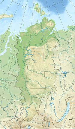
The source is located in the western part of the tundra system of the Fokinsky lakes , on the southern slope of Mount Temdemkaburi [3] . Of the 15 Fokina tributaries listed in the state water register, only 3 have their own names: Sigovaya , 21 km long, flowing 2 km to the right from the mouth [4] , Tukureeva , 44 km long, 8 km to the left [5] and 50 km on the right - Serebryany , 28 km long [6] .
It flows into the Yenisei at a distance of 541 km from the mouth.
According to the State Water Register of Russia, it belongs to the Yenisei Basin District . The code of the water body is 17010800412116100106060. [2]
Notes
- ↑ Surface Water Resources of the USSR: Hydrological Understanding. T. 16. Angara-Yenisei region. Vol. 1. Yenisei / ed. G. S. Karabaev. - L .: Gidrometeoizdat, 1967 .-- 823 p.
- ↑ 1 2 State Water Register . Fokina . textual.ru . Ministry of Natural Resources of Russia (March 29, 2009). Date of treatment December 20, 2018. Archived March 29, 2009.
- ↑ Map sheet R-45-129-A, B - FSUE GOSGISCENTER
- ↑ State Water Register . Sigovaya . textual.ru . Ministry of Natural Resources of Russia (March 29, 2009). Date of treatment December 20, 2018. Archived March 29, 2009.
- ↑ State Water Register . Tukureeva . textual.ru . Ministry of Natural Resources of Russia (March 29, 2009). Date of treatment December 20, 2018. Archived March 29, 2009.
- ↑ State Water Register . Silver . textual.ru . Ministry of Natural Resources of Russia (March 29, 2009). Date of treatment December 20, 2018. Archived March 29, 2009.
Topographic maps
Snezhnogorsk R-45-XXXIII, XXXIV |