Ust-Kanda is a river in Russia , flows through Bashkortostan and the Chelyabinsk region. The mouth of the river is 192 km along the left bank of the Yuryuzan River. The length of the river is 30 km [2] .
| Ust-Kanda | |
|---|---|
| Characteristic | |
| Length | 30 km |
| Pool | 213 km² |
| Watercourse | |
| Source | |
| • Coordinates | |
| Mouth | Yuryuzan |
| • Location | 192 km on the left bank |
| • Coordinates | |
| Location | |
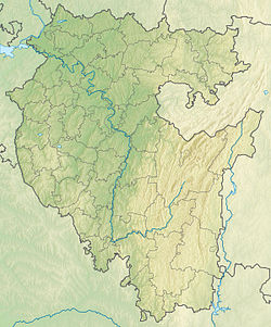
| Water system | Yuryuzan → Pavlovsk reservoir → Ufa → Belaya → Nizhnekamsk reservoir → Kama → Volga → Caspian Sea |
| A country |
|
| Regions | Bashkortostan , Chelyabinsk region |
| HWR code | |
Atnyashyaz River flows 19 km from the mouth on the left bank.
Water registry data
According to the state water register of Russia, it belongs to the Kama basin district , the water sector of the river is Ufa from the Nyazepetrovsky hydroelectric complex to the Pavlovsky hydroelectric complex , without the Ai river, the river river sub-basin is Belaya. The river basin of the river is Kama [2] .
The code of the object in the state water registry is 10010201112111100023439 [2] .
Notes
- ↑ Surface Water Resources of the USSR: Hydrological Understanding. T. 11. The Middle Urals and the Urals. Vol. 1. Kama / ed. V.V. Nikolaenko. - L .: Gidrometeoizdat, 1966 .-- 324 p.
- ↑ 1 2 3 State Water Register . Ust-Kanda . textual.ru . Ministry of Natural Resources of Russia (March 29, 2009). Date of treatment December 20, 2018. Archived March 29, 2009.