Shoy - a river in Russia , flows in the Perm Territory , in the Kishert district .
| Shoy | |
|---|---|
| Characteristic | |
| Length | 12 km |
| Watercourse | |
| Source | |
| • Coordinates | |
| Mouth | Lek |
| • Location | 23 km on the right bank |
| • Coordinates | |
| Location | |
| A country |
|
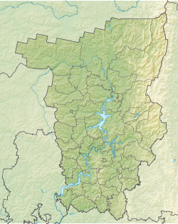
| Region | Perm region |
| Area | Kishert district |
| HWR code | |
Content
Geography
The mouth of the river is 23 km along the right bank of the Lek River. The length of the river is 12 km.
Water registry data
According to the state water register of Russia, it belongs to the Kama basin district , the water sector of the river is Sylva from the source to the mouth, the river sub-basin of the river Kama to the Kuibyshev reservoir (without the basins of the Belaya and Vyatka rivers). The river basin of the river is Kama [2] .
According to the geographic information system of water management zoning of the Russian Federation, prepared by the Federal Agency for Water Resources [2] :
- The code of the water body in the state water registry is 10010100812111100012784
- The code for hydrological knowledge (GI) is 111101278
- Pool code - 10.01.01.008
- GI Volume Number - 11
- GI Issue - 1
Notes
- ↑ Surface Water Resources of the USSR: Hydrological Understanding. T. 11. The Middle Urals and the Urals. Vol. 1. Kama / ed. V.V. Nikolaenko. - L .: Gidrometeoizdat, 1966 .-- 324 p.
- ↑ 1 2 State Water Register . Shoy . textual.ru . Ministry of Natural Resources of Russia (March 29, 2009). Date of treatment December 20, 2018. Archived March 29, 2009.