Sitalakshya is a river flowing in southeast Bangladesh .
| Sitalakshya | |
|---|---|
 | |
| Characteristic | |
| Length | 110 km |
| Water consumption | 74 m³ / s |
| Watercourse | |
| Mouth | Dhaleshvari |
| • Coordinates | |
| Location | |
| Water system | Dhaleshwari → Jamuna → Bay of Bengal |
| A country |
|
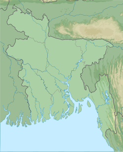
The length of the river is about 110 km [1] . The maximum depth of the river is 21 m with an average depth of 10 m. The average annual water flow is 74 m³ / s. Width up to 300 m (in the Narayanganja area) [1] . The river flows into the Dhaleshvari river. In the monsoon season , the river level increases significantly; also increases the speed of the current.
Inflow - the Balu River.
Notes
- ↑ 1 2 Murshed, Md Mahbub Shitalakshya (Link unavailable) . Banglapedia . Asiatic Society of Bangladesh. Archived February 2, 2007.