Muhari [1] ( beng. মুহুরী ) is a river in India and Bangladesh .
| Muhari | |
|---|---|
| beng মুহুরী | |
 | |
| Watercourse | |
| Mouth | Pheny |
| • Coordinates | |
| Location | |
| India | Tripura |
| Bangladesh | Chittagong |
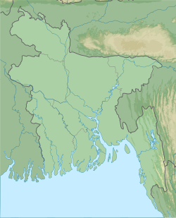
The river begins in the hills of Lushay in the Indian state of Tripura and flows to the west. It crosses the Indo-Bangladesh border in the district of Feni , and then flows along the border of the districts of Feni and Chittagong , before flowing into the Bay of Bengal flowing into the estuary of the Pheni River.
The river is shallow (during the dry season it can be forded) and narrow (from 150 to 200 m), near the mouth is subject to tides, therefore at a distance of 4 km from the estuary there is a dam preventing saline seawater from entering the irrigation systems.
Due to the complex nature of the river, prone to fast and powerful spills, the Indian government built in 1975 a breakwater to protect the city of Belonia in the state of Tripura. This caused problems on the Bangladeshi side, after which both sides agreed to no longer build any such facilities. Because of the floods of the river, islands appear and disappear on it, the outlines of the banks change, which leads to disputes over the passage of the border and the territorial affiliation of certain sections.
Notes
- ↑ F-46-VIII Map Sheet .