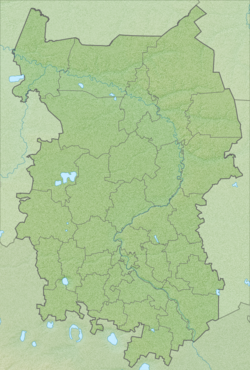
Cheburlinka - a river in Russia , flows in the Omsk region. The mouth of the river is located 220 km along the right bank of the Bolshoi Aiyev River . The length of the river is 10 km.
| Cheburlinka | |
|---|---|
| Characteristic | |
| Length | 10 km |
| Watercourse | |
| Mouth | Bolshoy Aiyev |
| • Location | 220 km on the right bank, near the village of Stanovka |
| • Height | 85 m |
| • Coordinates | |
| Location | |
| Water system | Bolshoi Aiyev → Osh → Irtysh → Ob → Kara Sea |
| A country |
|
| Region | Omsk region |
| Area | Bolsheukovsky District |
| HWR Code | |
Water Registry Data
According to the state water register of Russia, it belongs to the Irtysh Basin District , the water management section of the river - Osh , the river sub-basin of the river - the basins of the Irtysh tributaries to the confluence of the Ishim. The river basin is the Irtysh [2] .
Notes
- ↑ Surface water resources of the USSR: Hydrological knowledge. T. 15. Altai and Western Siberia. Issue 3. The Lower Irtysh and Lower Ob / ed. G. D. Eyrich. - L .: Gidrometeoizdat, 1964. - 432 p.
- ↑ State Water Register . Cheburlinka . textual.ru . Ministry of Environment of Russia (March 29, 2009). The appeal date was December 20, 2018. Archived March 29, 2009.