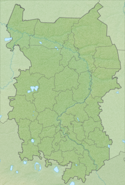
Achairka - a river in Russia , flows through the territory of the Lower Omsk region of the Omsk region . The source of the river is in the Taikul swamp. The mouth of the river is located 236 km on the right bank of the Omi River, near the village of Lower Omka . The length of the river is 31 km [2] .
| Achairka | |
|---|---|
| Characteristic | |
| Length | 31 km |
| Watercourse | |
| Source | Taikul |
| • Location | at the village of Achairka |
| Mouth | Om |
| • Location | 236 km on the right bank of the river, the village of Lower Omka |
| • Height | 84 m |
| • Coordinates | |
| Location | |
| Water system | Om → Irtysh → Ob → Kara Sea |
| A country |
|
| Region | Omsk region |
| Area | Nizhneomsky district |
| HWR code | |
Water registry data
According to the state water register of Russia, it belongs to the Irtysh basin district , the water sector of the river is Om , and the river sub-basin of the river is Om. The river basin of the river is the Irtysh [2] .
The code of the object in the state water registry is 14010200112115300005210 [2] .
Notes
- ↑ Surface Water Resources of the USSR: Hydrological Understanding. T. 15. Altai and Western Siberia. Vol. 3. Lower Irtysh and Lower Ob / ed. G. D. Eirich. - L .: Gidrometeoizdat, 1964 .-- 432 p.
- ↑ 1 2 3 State Water Register of the Russian Federation: Achairka . Archived July 25, 2012.