Dar'a [1] - ( Arabic: مُحافظة درعة ) is one of the 14 governorates in southern Syria .
- The administrative center is the city of Dara .
- Other major cities are Nava , Tafas , Jasim , Es Sanamein [2] .
- Area - 3730 km² , population - 1,027,000 people ( 2011 ) .
| governorate | |
| Dar'ah | |
|---|---|
| Arab. مُحافظة درعة | |
| A country | |
| Includes | 3 districts |
| Adm Centre | Daria |
| History and geography | |
| Square | 3730 km² (10th place ) |
| Timezone | UTC + 2 , summer UTC + 3 |
| Population | |
| Population | 1,027,000 people ( 2011 ) ( 9th place ) |
| Density | 275.34 people / km² (4th place) |
| Official language | Arab |
| Digital identifiers | |
| ISO 3166-2 code | SY-DR |
| Official site | |
 | |
 | |
Content
Geography
In the west it borders with the governorate of El Quneitra , in the north with the governorate of Damascus , in the east with the governorate of Es Suwaid , in the south with Jordan .
Administrative division
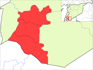
The governorate is divided into 3 districts:
| Area | Administrative center | Map |
|---|---|---|
| Es Sanamine | Es Sanamine | |
| Daria | Daria | |
| Isra | Isra |
Es Sanamine
Isra
Daria
Notes
- ↑ Countries of the Eastern Mediterranean, Iraq // Atlas of the world / comp. and prepare. to ed. PKO "Cartography" in 1999; rep. Ed .: T. G. Novikova , T. M. Vorobyov . - 3rd ed., Sr., Seal. in 2002 with diaposis. 1999 - M .: Roskartografiya, 2002. - S. 176-177. - ISBN 5-85120-055-3 .
- ↑ Dar'ā: largest cities and towns and statistics of their population (English)
See also
- Dail