For the village of the same name, see the article Uchulen
| Uchulen | |
|---|---|
| Characteristic | |
| Length | 16 km |
| Watercourse | |
| Mouth | Mundybash |
| • Location | 7 km on the right bank |
| • Height | 256 m |
| • Coordinates | |
| Location | |
| Water system | Mundybash → Kondoma → Tom → Ob → Kara Sea |
| A country |
|
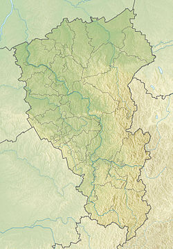
| Region | Kemerovo region |
| Area | Tashtagol district |
| HWR Code | |
Uchulen (Uchula) - a river in Russia , flows in the Kemerovo region. The mouth of the river is 7 km on the right bank of the Mundybash river. The length of the river is 16 km.
Water Registry Data
According to the state water register of Russia, it belongs to the Verkhneobsk Basin District , the water sector of the river is Kondoma , and the river sub-basin of the river is Tom. River basin - (Upper) Ob to the confluence of the Irtysh [2] .
Notes
- ↑ Surface water resources of the USSR: Hydrological knowledge. T. 15. Altai and Western Siberia. Issue 2. Average Ob / ed. V.V. Seeberg. - L .: Gidrometeoizdat, 1967. - 351 p.
- ↑ State Water Register . Uchula . textual.ru . Ministry of Environment of Russia (March 29, 2009). The appeal date was December 20, 2018. Archived March 29, 2009.
Links
- Map sheet N-45-XXVIII . Scale: 1: 200 000. Specify the date of issue / state of the area .
- Map sheet N-45-103 Temir-tau . Scale: 1: 100,000. Indicate the date of issue / state of the terrain .