Paznas is a river in Russia , flows in the Kemerovo region. The mouth of the river is located 141 km on the right bank of the Kondoma River. The river is 14 km long.
| Paznas | |
|---|---|
| Characteristic | |
| Length | 14 km |
| Watercourse | |
| Mouth | Condom |
| • Location | 141 km on the right bank |
| • Coordinates | |
| Location | |
| Water system | Kondoma → Tom → Ob → Kara Sea |
| A country |
|
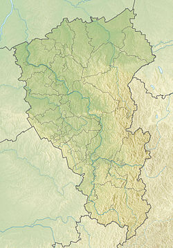
| Region | Kemerovo region |
| Area | Novokuznetsk district |
| HWR code | |
Water registry data
According to the state water register of Russia, it belongs to the Verkhneobsk Basin District , the water sector of the river is Kondoma , and the river sub-basin of the river is Tom. The river basin - (Upper) Ob until the confluence of the Irtysh [2] .
Notes
- ↑ Surface Water Resources of the USSR: Hydrological Understanding. T. 15. Altai and Western Siberia. Vol. 2. Average Ob / ed. V.V. Seeberg. - L .: Gidrometeoizdat, 1967 .-- 351 p.
- ↑ State Water Register of the Russian Federation: Paznas Neopr . Date of treatment February 23, 2011. Archived July 20, 2012.
Links
- Map sheet N-45-XXVIII . Scale: 1: 200 000. Indicate the date of issue / condition of the area .