Bolshaya Surya - a river in Russia , flows in the Perm Territory.
| Big Surya | |
|---|---|
| Characteristic | |
| Length | 16 km |
| Watercourse | |
| Source | |
| • Coordinates | |
| Mouth | Qutim |
| • Location | 16 km on the left bank |
| • Height | 349.6 m |
| • Coordinates | |
| Location | |
| Water system | Kutim → Uls → Vishera → Kama → Volga → Caspian Sea |
| A country |
|
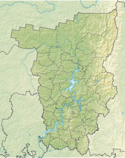
| Region | Perm region |
| Area | Krasnovishersky district |
| HWR code | |
Content
- 1 Description
- 2 Water registry data
- 3 notes
- 4 References
Description
It flows completely through the territory of the Krasnovishersky district of Perm Territory. It flows mainly to the north. The mouth of the river is 16 km along the left bank of the Kutim River. The length of the river is 16 km.
Water registry data
According to the state water register of Russia, it belongs to the Kama basin district , the Kama river water sector from the water meter post in the village of Bondyug to the city of Berezniki , the river sub-basin - the Kama tributaries' basins to the confluence of the White. The river basin of the river is Kama [2] .
According to the geographic information system of water management zoning of the territory of the Russian Federation, prepared by the Federal Agency for Water Resources [2] :
- The code of the water body in the state water registry is 100101002121111000000004532
- The code for hydrological knowledge (GI) is 111100453
- Pool code - 10.01.01.002
- GI Volume Number - 11
- GI Issue - 1
Notes
- ↑ Surface Water Resources of the USSR: Hydrological Understanding. T. 11. The Middle Urals and the Urals. Vol. 1. Kama / ed. V.V. Nikolaenko. - L .: Gidrometeoizdat, 1966 .-- 324 p.
- ↑ 1 2 State Water Register of the Russian Federation: Bolshaya Surya . Archived July 19, 2012.
Links
- The article used information provided by the Federal Agency for Water Resources from the list of water bodies registered in the state water register as of March 29, 2009. List (rar-archive, 3.21 Mb).