Chebura is a river in the Kemerovo region of Russia [2] . The mouth of the river is located 62 km along the left bank of the Kasma River . The river is 38 km long [3] .
| Chebura | |
|---|---|
| Characteristic | |
| Length | 38 km |
| Watercourse | |
| Source | |
| • Height | above 306 m |
| • Coordinates | |
| Mouth | Kasma |
| • Location | 62 km on the left bank, s. Red |
| • Height | 201 m |
| • Coordinates | |
| Location | |
| Water system | Kasma → Inya → Ob → Kara Sea |
| A country |
|
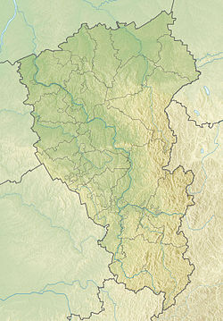
| Region | Kemerovo region |
| Areas | Guryevsky district , Promyshlennovsky district , Leninsk-Kuznetsk district |
| HWR code | |
24 km from the estuary, the Cheburushka River flows into the left bank of the river.
Settlements (including former ones) are located along the river: Chebura, Ufimtsevo, Ivan Brod , Durnovo, Krasnoye .
Water registry data
According to the state water register of Russia, it belongs to the Verkhneobsky Basin District , the water sector of the river is Inya , the river sub-basin is the basins of tributaries of the (Upper) Ob until the confluence of the Tom. River basin - (Upper) Ob until the confluence of the Irtysh [3] .
Notes
- ↑ Surface Water Resources of the USSR: Hydrological Understanding. T. 15. Altai and Western Siberia. Vol. 2. Average Ob / ed. V.V. Seeberg. - L .: Gidrometeoizdat, 1967 .-- 351 p.
- ↑ Cheburra River Neopr . Public cadastral map . Date of treatment October 13, 2012. Archived October 26, 2012.
- ↑ 1 2 State Water Register . Chebura . textual.ru . Ministry of Natural Resources of Russia (March 29, 2009). Date of treatment December 20, 2018. Archived March 29, 2009.