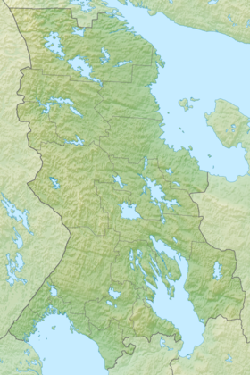
Nigrozero is a Russian lake in the Loukhsky district of the Republic of Karelia on the border with the Murmansk region .
| Lake | |
| Nigrozero | |
|---|---|
| Morphometry | |
| Square | 6.6 km² |
| Hydrology | |
| Type of mineralization | fresh |
| Pool | |
| Pool area | 38.3 km² |
| Location | |
| A country |
|
| The subject of the Russian Federation | Republic of Karelia |
| Area | Loukhsky district of Karelia |
| Identifiers | |
| HWR : | |

General information
Sign "Arctic Circle" in front of the bridge over the Nigrozero
The southern coastline is significantly indented. The shores of the lake are low, mostly stony, sometimes sandy, rarely marshy.
The eastern part of the lake is crossed by the P10 highway from the state border to Pechenga , where the bridge of the Arctic Circle passes at the bridge. The northwest coast almost touches the border line with the Murmansk region.
Notes
- ↑ Surface Water Resources of the USSR: Hydrological Understanding. T. 2. Karelia and the North-West / ed. E.N. Tarakanova. - L .: Gidrometeoizdat, 1965 .-- 700 p.