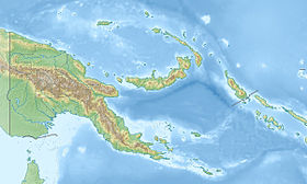
Tanga Islands is a group of islands within Papua New Guinea located 55 km northeast of New Ireland . Administratively, the islands belong to the New Ireland province of the Islands region, as well as to the Bismarck archipelago .
| Tanga | |
|---|---|
| English Tanga islands | |
 | |
| Specifications | |
| Number of islands | 6 |
| Largest island | Malendock |
| Highest point | 472 m |
| Population | 5083 people (1990) |
| Location | |
| Water area | Pacific Ocean |
| A country |
|
| Region | Islands |
| Area | New ireland |
Geography
The largest islands are Malendok and Boang , the smaller islands include Leaf , Tefa , Bitlik and Bitbok . Tanga is the smallest of the group of islands belonging to the chain of islands Tabar - Likhir — Tanga — Feni .
History
The tanga islands were discovered in April 1643 by Abel Tasman . From 1885 to 1899 they were part of the so-called "German protectorate" ( German: Deutsches Schutzgebiet ), and from 1899 to 1914 belonged to the German New Guinea colony. In 1914, the islands were conquered by the Australian landing force and, after the end of the First World War, were ruled by Australia as the mandate of the League of Nations . Since 1975 they are part of the independent Papua New Guinea.