Cape Ricorda is the southern tip of Iturup Island . The shape is a steep cliff of dark red color. By origin - this is a spur of the extinct volcano Berutarube .
| Rikorda | |
|---|---|
| Location | |
| Water area | Pacific Ocean |
| A country |
|
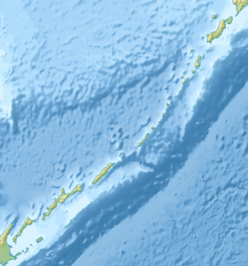
Cape Ricorda is washed by the waters of the Catherine Strait , which separates Iturup Island from Kunashir Island .
In the strait, there are strong currents of different types: constant, tidal, wind, fenders. Near Cape Rikord, through the Catherine Strait, the warm Soya flows out of the Sea of Okhotsk into the Pacific Ocean . With the regime of tidal currents there are associated “fenders” currents directed across the strait. The speed of the “bump” current depends on the speed of the tidal currents and can be two to three times higher than the total current velocity in neighboring areas of the strait. Whirlpools and rips are often observed. With rips, short waves with foaming crests occur that do not have a specific direction. [one]
On Cape Rikorda, one of the three largest rookeries on the South Kuril Islands is located. [2]
Named in honor of the prominent Russian navigator Admiral Pyotr Ivanovich Rikord .