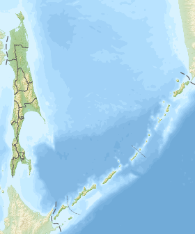
The North-Sakhalin Plain is a completely hilly territory to the south of the Schmidt Peninsula with a widely branched river network, poorly defined watersheds and some low mountain ranges, stretching from the Baikal Bay in the north to the confluence of the Nysh and Tym Rivers in the south, the highest point is Daakhuria ( m); The northeastern coast of the island stands out as a subdistrict characterized by large lagoons (the largest ones are Piltun, Chayvo, Nyisky, Nabilsky, Lunsky bays), separated from the sea by narrow bands of alluvial spit, dunes, and low sea terraces - in this subarea and The main Sakhalin oil and gas fields are located on the adjacent shelf of the Sea of Okhotsk .
| North Sakhalin Plain | |
|---|---|
| Specifications | |
| Square | 28 thousand km ² |
| Location | |
| A country |
|
| The subject of the Russian Federation | Sakhalin region |