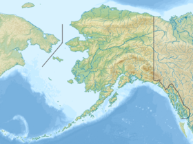
Amukta ( Eng. Amukta ) - the most western of the Four-handed islands . Located east of Siguam Island.
| Amukta | |
|---|---|
| English Amukta | |
 | |
| Specifications | |
| Square | 75 km² |
| Highest point | 1055 m |
| Population | 0 pax (2012) |
| Location | |
| Water area | Bering Sea |
| A country |
|
| State | Alaska |
Geography
Amukta, the most westerly of the Four Lap Islands. The highest point is 1055 m above sea level - Amukta volcano . The island is mountainous , covered with tundra vegetation, mosses , lichens and ferns .
The climate on the island is cold marine, with frequent fogs and precipitation .
History
In 1768, the island was discovered by Russian sailors from the ship "St. Paul ” [1] . In 1867, the United States was sold along with Alaska .
Notes
- ↑ ALEUTIAN ISLANDS unopened (inaccessible link) . Archived June 16, 2012.