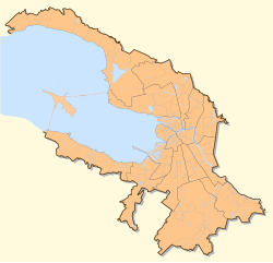
Middle Nevka - a channel in the Neva Delta. It flows between Yelagin Island (on the right bank) and the Kamenny and Krestovsky Islands (on the left). It falls into the Yelaginsky channel of the Neva Bay .
| Middle Nevka | |
|---|---|
 | |
| Characteristic | |
| Length | 2.6 km |
| Watercourse | |
| Source | Big Nevka |
| • Coordinates | |
| Mouth | Neva Bay |
| • Coordinates | |
| Location | |
| A country |
|
| Region | St. Petersburg |
| HWR code | |
Geographic Information
The length is 2.6 km, the width is 100–230 m, the depth is 3.7–8.4 m, and the average water discharge at the source is 188 m³ / s. The banks, except for a small section of Krestovsky Island below the mouth of the Krestovka River, are naturally earthy, tree-fortified, a recreation area. Navigable.
Attractions
- 1st Elagin Bridge
- 2nd Elagin Bridge
- Rowing canal
Literature
- City names today and yesterday: Petersburg toponymy / comp. S.V. Alekseeva, A.G. Vladimirovich , A.D. Erofeev et al. - 2nd ed., Revised. and add. - SPb. : Lick , 1997 .-- S. 84. - 288 p. - (Three centuries of Northern Palmyra). - ISBN 5-86038-023-2 .
- ↑ Surface Water Resources of the USSR: Hydrological Understanding. T. 2. Karelia and the North-West / ed. E.N. Tarakanova. - L .: Gidrometeoizdat, 1965 .-- 700 p.