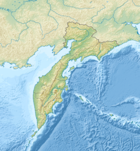
Karagin Gulf - the Gulf of the Bering Sea on the northeast coast of Kamchatka . Located between the Ilpinsky and Lake peninsulas. Open to the east, protruding into the mainland for 117 km. The width of the bay at the entrance is 239 km, the depth is up to 60 m [1] .
| Karaginsky Bay | |
|---|---|
| Specifications | |
| Deepest | 60 m |
| Location | |
| Upstream water area | Bering Sea |
| A country |
|
| The subject of the Russian Federation | Kamchatka Krai |
| Area | Karaginsky district |


In the central part of the bay there is a large Karaginsky island [2] , which is separated from the mainland by the Litke Strait . In the northern part is Verkhoturov Island . Many rivers flow into the bay, the largest: Makarovka , Kichiga , Tymlat , Karaga , Kayum , Ivashka , Istyk , Nachiki and Uka . On the coast there are capes Kuzmishcheva, South Entrance, False-Kuzmishchev, Paklan, Ilpinsky and others. The coast is steep, rocky. There are many bays and bays in the bay, the largest: Anapka , Uala and Kichiginsky bays, Tymlat bays, Ossora , Karaga , Ukinskaya Bay [3] [4] .
Tides up to 2.4 m in size, mixed. It is covered with ice from December to June [1] .
The main settlements on the coast: Ossora , Ilpyrskoe , Tymlat , Karaga , Belorechensk , Makaryevsk and Ivashka .
Administratively, the bay is part of the Kamchatka Territory of Russia .
Notes
- ↑ 1 2 Karaginsky Gulf // Great Soviet Encyclopedia : [in 30 vol.] / Ch. ed. A.M. Prokhorov . - 3rd ed. - M .: Soviet Encyclopedia, 1969-1978.
- ↑ Karaginsky Gulf // Confiscation Office - Kyrgyzstan. - M .: Big Russian Encyclopedia, 2009. - ( Big Russian Encyclopedia : [in 35 vols.] / Ch. Ed. Yu. S. Osipov ; 2004—2017, vol. 13). - ISBN 978-5-85270-344-6 .
- ↑ Map sheet O-58-III m. Ilpinsky . Scale: 1: 200 000. Status of the area for 1949-1969. 1983 edition
- ↑ Map sheet O-58-XIX . Nachikinskaya . Scale: 1: 200 000. The condition of the area for 1975-1980. 1986 edition
Literature
- Encyclopedic Geographic Dictionary: Geographic Names / Ch. Ed. A. F. Treshnikov ; Ed. col .: E. B. Alaev, P. M. Alampiev, A. G. Voronov and others. - M .: Sov. Encyclopedia, 1983.- S. 196.- 538 p. - 100,000 copies.