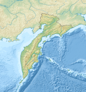
Litke Strait - a strait in the Bering Sea , separates the Karaginsky island from the mainland. The maximum depth is 67 m [1] .
| Strait of Litke | |
|---|---|
 | |
| Specifications | |
| Deepest | 67 m |
| Location | |
| Upstream water area | Bering Sea |
| Separates | Karaginsky island from Kamchatka Peninsula |
| A country |
|
| The subject of the Russian Federation | Kamchatka Krai |
| Area | Karaginsky district |

It was named in 1910 in honor of the Russian navigator and researcher Fedor Petrovich Litke [2] .
On the western shore of the strait, in the bay of the same name, the village of Ossora is located.
Notes
- ↑ Map sheet O-58-14 Asallone Mountain . Scale: 1: 100,000. Status of the area in 1969. 1977 edition
- ↑ Leontyev V.V. , Novikova K.A. Toponymic Dictionary of the North-East of the USSR / scientific. ed. G. A. Menovschikov ; FEB AN USSR . North-East complex. Research institutes. Lab archeology, history and ethnography. - Magadan: Magad. Prince Publishing House , 1989 .-- S. 235 .-- 456 p. - 15,000 copies. - ISBN 5-7581-0044-7 .