Chambeshi is a river in Zambia .
| Chambeshi | |
|---|---|
| English Chambeshi | |
| Characteristic | |
| Length | 480 km |
| Watercourse | |
| Source | |
| • Location | northeast of Zambia |
| • Height | 1760 m |
| • Coordinates | |
| Mouth | Luapula |
| • Coordinates | |
| Location | |
| A country |
|
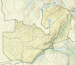
The source is located in the mountains in northeast Zambia , near Lake Tanganyika , at an altitude of 1760 m above sea level. It flows in a southerly direction, after 480 km it flows into the Luapula River .
At the end of the rainy season in May, the river brings large bodies of water that replenish the swamps and flood the vast floodplain in the southeast, supporting the Bangweulu wetland ecosystem. Then the water from the swamps flows through the Luapula River [1] .
For more than 100 km, flowing east of Kasama County, Chambesi consists of a labyrinth of canals in swamps about 2 km wide. The floodplain of the river reaches 25 km wide. Even lower, where the river is crossed by the bridges of the Kasama - Mpika highway and the Tazar railway line, the width of the permanent channel is about 100 m (up to 400 m in floods) [2] .
Notes
- ↑ Brian Leith (Director): “Congo,” Television Documentary broadcast by British Broadcasting Corporation, London, 2001.
- ↑ Google Earth accessed February 4, 2007