Chang ( Thai. เกาะ ช้าง , literally - “Elephant”) is one of the largest islands in Thailand , administratively belongs to the province of Trat , is allocated in a separate amphe Kochang and, in addition to the island itself, includes small nearby islands, including Wai .
| Chang | |
|---|---|
| thai เกาะ ช้าง | |
 view from the observation deck to the beach White Sand Beach | |
| Specifications | |
| Square | 215 km² |
| Highest point | 743 m |
| Population | 5356 people (2005) |
| Population density | 24.91 people / km² |
| Location | |
| Archipelago | Chang |
| Water area | Gulf of Thailand |
| A country |
|
| Region | Trat |
| Area | Kochang |
Geography
Chang is a part of the archipelago of the same name. The area of the island is 215 km² [1] ; the third largest island in Thailand, after Phuket and Samui .
The highest point of Chang is Mount Salakphet , 743 [2] meters high above sea level .
The population is 5356 people ( 2005 ) living in 8 villages.
The island is part of the Mu-Ko-Chang Marine National Park .
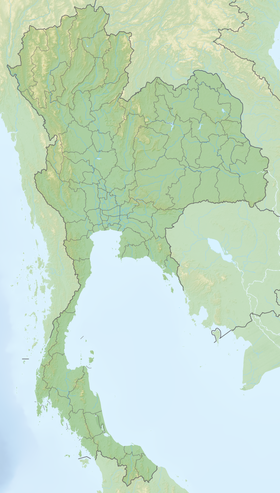
Located at a distance of 310 km from Bangkok , near the border of Cambodia
History
On January 17, 1941, during the Franco-Thai war of 1940-1941, a naval battle took place near the island of Chang between the forces of the French and Thai fleets, which ended in a convincing victory for the French. It was the only serious sea clash in the entire war.
Attractions
- Klong Plu Waterfall
- Than Mayom Waterfall
- Klong Plu Waterfall - the highest waterfall on the island
- Church of the Russian Orthodox Church in the name of Sergius of Radonezh [3] .
Gallery
Beach on the island
Beach Lonely Beach
Sunset on the island of Chang
Klong Plu Waterfall
Elephant riding
Notes
- ↑ UNEP islands
- ↑ Map sheet D-48-XXXI .
- ↑ Temple of St. Sergius of Radonezh, Koh Chang, Thailand - The official website of the temple on PRIHOD.RU