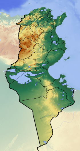
Bahira [1] [2] (Tunisian [2] , Tunisia [3] Arabic. البحيرة, El Bahira ) is a salty [4] lagoon [3] lake [1] [2] located between the capital of Tunisia and the Tunisian Gulf of the Mediterranean seas. The area of this shallow lake, once a sea harbor , is 37 km².
| Lake | |
| Bahira | |
|---|---|
 | |
| Morphometry | |
| Absolute height | 0 m |
| Dimensions | 10 × 5 km |
| Square | 37 km² |
| Location | |
| A country |
|
| Vilayet | Tunisia |
During the Roman Empire , a dam was built on the lake, dividing it into two parts. Currently, the dam is used as a road for cars and trains connecting La Gulette harbor and the coastal cities of Sidi Bou Said and La Mars . In the northern part of the lake is the island of Chikli, once a Spanish fort, and since 1993 declared a reserve.
Due to the ongoing sedimentation processes [5] in the 19th century, French colonial forces dug a canal 9.7 km long, 46 m wide and 6.1 m deep along the dam leading to the old harbor of Tunisia. A large tourist center is currently under construction on the southern shore of the lake. Tunis-Carthage International Airport is located on the northern shore of the lake.
Notes
- ↑ 1 2 Map sheet J-32-G . Scale: 1: 500,000 .
- ↑ 1 2 3 Map sheet J-32-XXIX . Scale: 1: 200 000. Indicate the date of issue / condition of the area .
- ↑ 1 2 Tunisia // Great Russian Encyclopedia : [in 35 vol.] / Ch. ed. Yu.S. Osipov . - M .: Great Russian Encyclopedia, 2004—2017.
- ↑ Tunisia: Geographic map: Scale 1: 1,000,000 / st. ed. T.P. Filatova ; ed. N. N. Chugunova . - Omsk: Omsk Cartographic Factory , 2004. - (Countries of the World "Africa"). - 2000 copies. - ISBN 5-95230-097-9 .
- ↑ Sedimentation in the Lake of Tunis: A lagoon strongly influenced by man
Links
- Wikimedia Commons has media related to Lake Tunisia