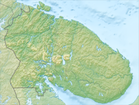
Lumbovsky is an island at the exit from the Lumbovsky Gulf of the White Sea , 1 km from the Tersky coast of the Kola Peninsula . The island is 3 km long and 2 km wide. The surface is a hilly swampy plateau , up to 54 m high (mountain in the south-west of the island). [1] Tundra vegetation. On the island there are two small lakes. In the northwestern part of the island is a fishing hut. The island is depicted on the Dutch map of Johann van Köhlen in 1682 . [2]
| Lumbovsky | |
|---|---|
| Specifications | |
| Highest point | 54 m |
| Population | 0 people (2008) |
| Location | |
| A country |
|
| The subject of the Russian Federation | Murmansk region |

