Taz Bay - Gulf of the Ob Bay of the Kara Sea , between the Gydan and Taz Peninsulas . Length about 330 km, width at the entrance 45 km. It is a flooded extension of the valleys of the Taz and Pur rivers that flow into it. The shores are low. The tides are semidiurnal, up to 0.7 m [1] .
| Taz Bay | |
|---|---|
 NASA satellite imagery | |
| Specifications | |
| Bay Type | Lip |
| Flowing rivers | Taz , Messoyaha , Pur , Hadutte , Antipayayayah , Salyakaptan |
| Location | |
| Upstream water area | Gulf of Ob |
| A country |
|
| The subject of the Russian Federation | Yamal-Nenets Autonomous Okrug |
| Area | Tazovsky district |
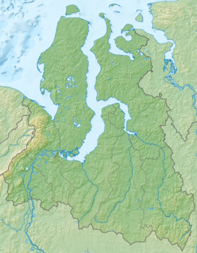

The Taz Bay is freshwater. Depth is negligible - up to 9 m [2] ; silty soil, sometimes sandy. The left bank of the lip is elevated, the right is low, both banks are covered with willow, birch slanka, moss and reindeer moss, in some places low clay or sand mounds and hills can be seen on them. There are many large and small sandy-clay low-lying islands in the bay, partly covered with moss , grass and talnik. Some of them have lakes. These islands serve as a shelter for water birds. Of the more significant islands: Yagodny and Evnarman-sale; there are many underwater shallows and cans in the lip [3] .
Notes
- ↑ Dictionary of modern place names. - Yekaterinburg: U-Factoria. Edited by Acad. V.M. Kotlyakova. 2006.
- ↑ Big Encyclopedic Dictionary (inaccessible link) . unienc.ru . Date of treatment April 6, 2019. Archived March 4, 2016.
- ↑ Taz Bay // Brockhaus and Efron Encyclopedic Dictionary : 86 volumes (82 volumes and 4 additional). - SPb. , 1890-1907.