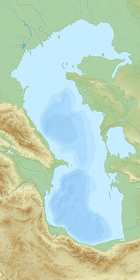
Kaydak ( Kaz. Kaydaқ ) is a narrow and long shallow bay on the eastern shore of the Caspian Sea in Kazakhstan , which is a continuation of the Dead Kultuk (Tsesarevich Bay) in the southwest and bounding the Buzachi Peninsula from the east. The depth of the bay reaches places of 4-5 meters.
| Kaidak | |
|---|---|
| kaz. Қайдақ | |
| Location | |
| Upstream water area | Caspian Sea |
| A country |
|
| Region | Mangistau region |
| Areas | Beineu district , Mangistau district |


Kaydak Bay May 15, 2008, view from space
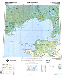
Topographic map of the north-eastern part of the Caspian Sea in 1975.
Sor Kaydak bottom right.
Content
History
Starting from the 30s of the XX century, the level of the Caspian Sea began to decline sharply, which caused the Kaydak Bay to dry out and litter (salt marsh) formed in its place [1] . In the 80s and 90s, sea levels began to rise, and the Kaydak litter was again filled with water.
Sources
Notes
- ↑ A. A. Sokolov. The history of the development of the hydrographic network of the USSR // Hydrography of the USSR. - Hydrometeoizdat , 1952.
Literature
- Kaydak // Brockhaus and Efron Encyclopedic Dictionary : in 86 volumes (82 volumes and 4 additional). - SPb. , 1890-1907.