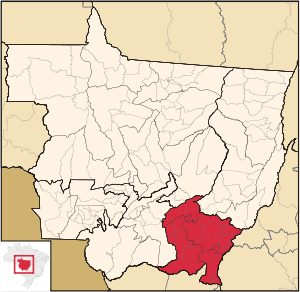
Southeast Mato Grosso State on a map.
The southeast of the state of Mato Grosso ( port. Mesorregião do Sudeste Mato-Grossense ) is the administrative-statistical mesoregion in Brazil . Included in the state of Mato Grosso . The population is 447,935 people (as of 2010). Area - 71,950.815 km². The population density is 6.23 people / km².
Demographics
According to information collected during the 2010 census by the National Institute of Geography and Statistics (IBGE), the population of the mesoregion is:
% of state population | ||||
|---|---|---|---|---|
Statistics
- The gross domestic product for 2003 is 4,219,544,520.00 reais (data: Brazilian Institute of Geography and Statistics ).
- The gross domestic product per capita for 2003 is 11,020.59 reais (data: Brazilian Institute of Geography and Statistics ).
- The Human Development Index for 2000 is 0.781 (data: UN Development Program ).
Composition of the Mesoregion
The following microregions are included in the mesoregion:
- Altu Araguaya
- Primavera do flattery
- Rondonopolis
- To tesor