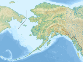
Popov ( born Popof , Aleut. Siitikdax̂ [1] ) is one of the islands of the Shumaginsky group south of the Alaska Peninsula. Included in the state of Alaska , USA . The Russian hydrograph Mikhail Tebenkov officially marked on the map for the first time in 1852 [2] .
| Popov | |
|---|---|
| English Popof , Aleut. Siitikdax̂ | |
| Specifications | |
| Square | 93.651 km² |
| Highest point | 472 m |
| Population | 952 people (2000) |
| Population density | 10.17 people / km² |
| Location | |
| Water area | Pacific Ocean |
| A country |
|
| State | Alaska |
Geography
The area of the island is 93.651 km². The peak elevation is 472 meters.
Population
The population of the island according to the 2000 census was 952 people, all of it is concentrated in the only settlement - the town of Sand Point .
Notes
- ↑ Bergsland, K Aleut Dictionary Fairbanks: Alaska Native Language Center, 1994
- ↑ United States Geographic Names Information System: Popof Island
