The Ura-Tyubinsk region ( Tajik. Viloyati Ӯrotheppa ) is an administrative unit in the territory of the Tajik Soviet Socialist Republic that existed from January 19, 1945 to January 23, 1947 . Formed from the southern part of the Leninabad region . Located in the mountains of the Tien Shan and Gissar-Alai. By a decree of the Presidium of the Supreme Soviet of the USSR of January 23, 1947, the region was liquidated, the administrative regions of the region became part of the Leninabad region [1] .
| region | |||||
| Ura-Tyube region | |||||
|---|---|---|---|---|---|
| Viloyati Ӯroteppa | |||||
| |||||
| A country | |||||
| Entered | Tajik SSR | ||||
| Adm. Centre | Ura-Tyube | ||||
| History and Geography | |||||
| Date of formation | 1945 - 1947 | ||||
| Population | |||||
| Population | Tajiks , Uzbeks , Russian people. | ||||
| Denominations | Muslims , Christians | ||||
| Official language | Tajik , Russian | ||||
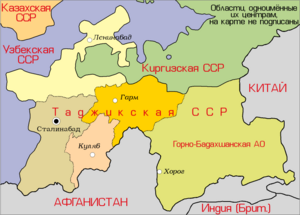 | |||||


The administrative center is Ura-Tyube .
Areas:
- Ganchinsky district
- Zakhmatabad district
- Kalininabad district
- Kolkhozchion district
- Matchinsky District
- Panjakent District
- Ura-Tyubinsky district
- Shahristan district